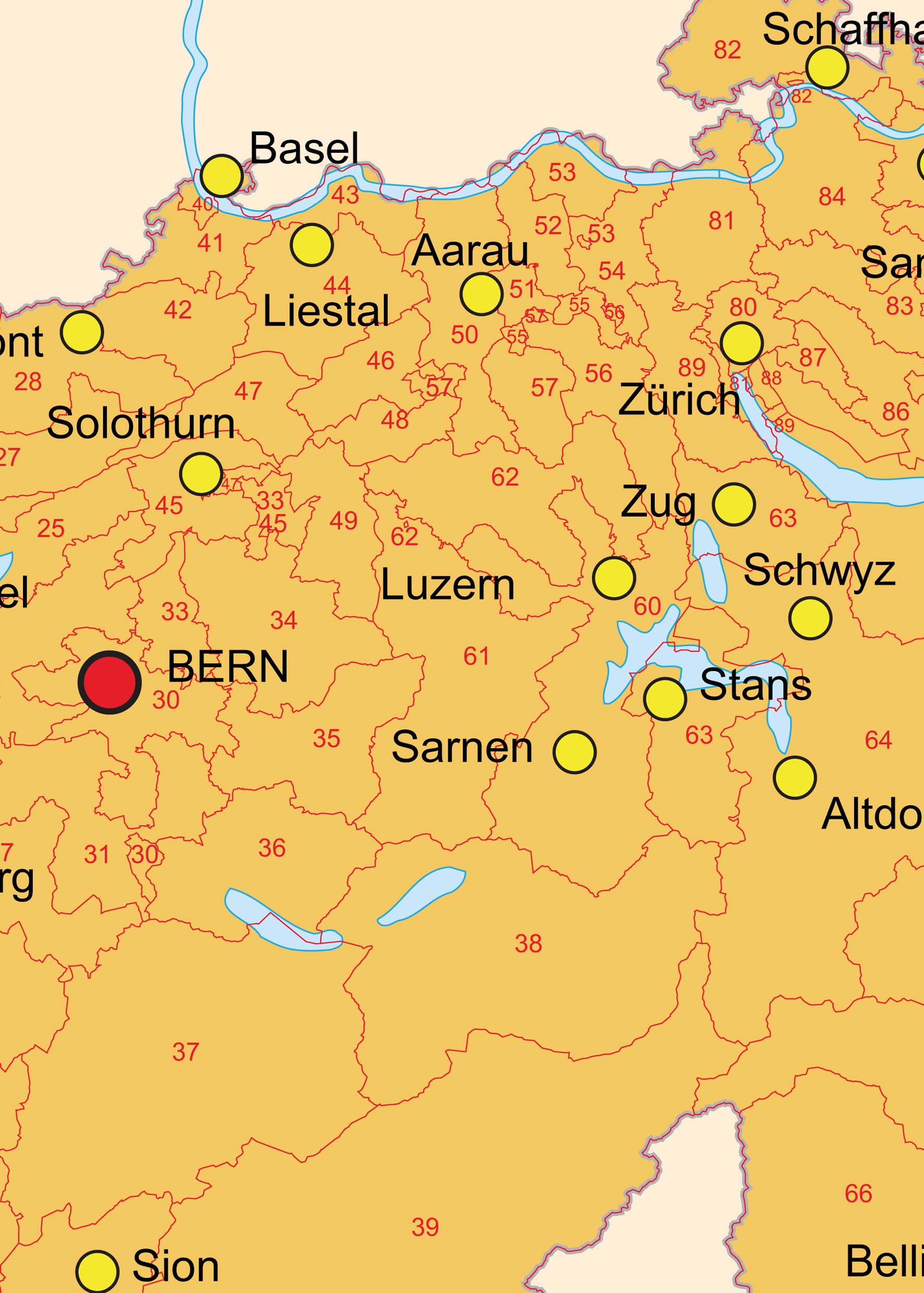
The CH postcode area, also known as the Chester postcode area, is a group of 37 postcode districts in North West England and North East Wales. Together the districts cover west Cheshire, the Wirral part of Merseyside, and east Flintshire. Its thirteen post towns are Bagillt, Birkenhead, Buckley, Chester, Deeside, Ellesmere Port, Flint, Holywell, Mold, Neston, Prenton, Wallasey, and Wirral.
The postcodes for the Wirral Peninsula were originally covered by the L postcode area, until they were transferred to the CH postcode area in 1999. The postcode numbers were unchanged, for example L41 became CH41.
Mail for the CH postcode area is processed at Chester Mail Centre, along with mail for the LL and SY postcode areas.
Coverage
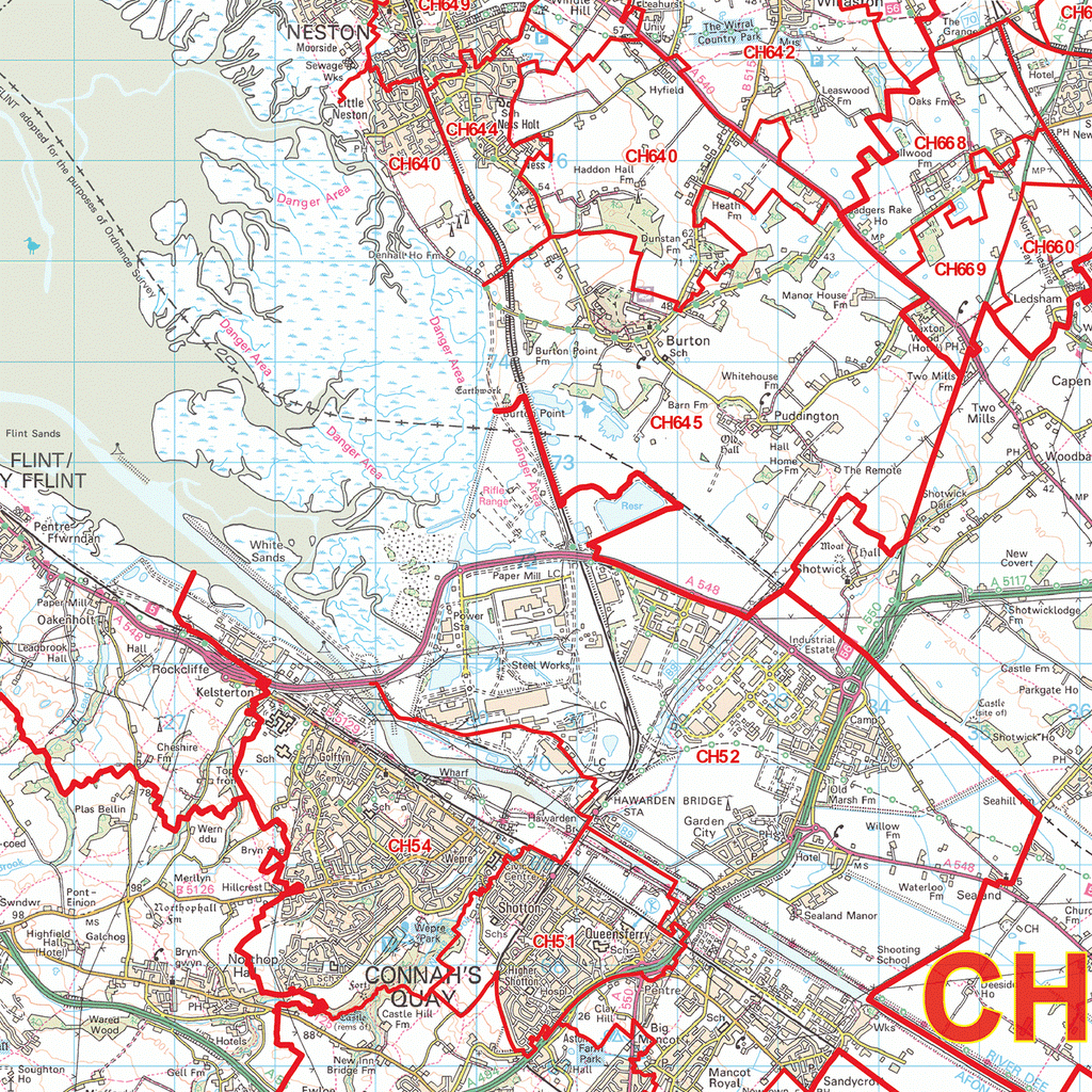
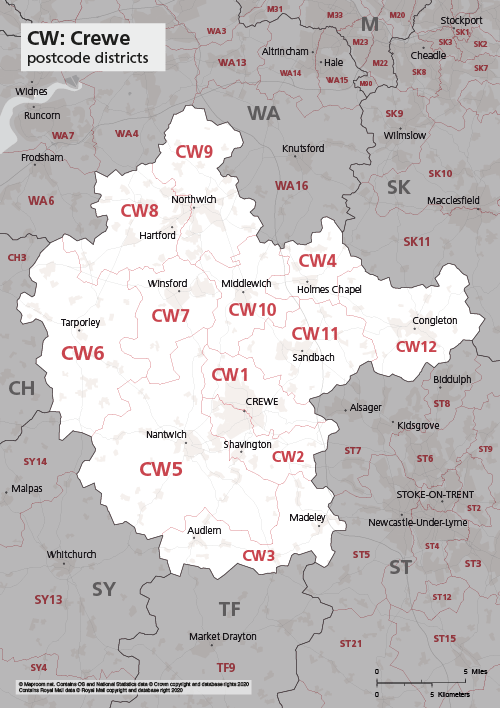
The approximate coverage of the postcode districts:
Map
See also
- List of postcode areas in the United Kingdom
- Postcode Address File
- GeoNames database
Notes
References
External links
- Using Welsh alternative addresses within Royal Mail's Postcode Address File (PAF)
- Royal Mail's Postcode Address File
- A quick introduction to Royal Mail's Postcode Address File (PAF)
-16779-p.jpg?w=800&h=9999&v=7db4a17b-5b1a-4a86-a63f-5b78fb8a8592)