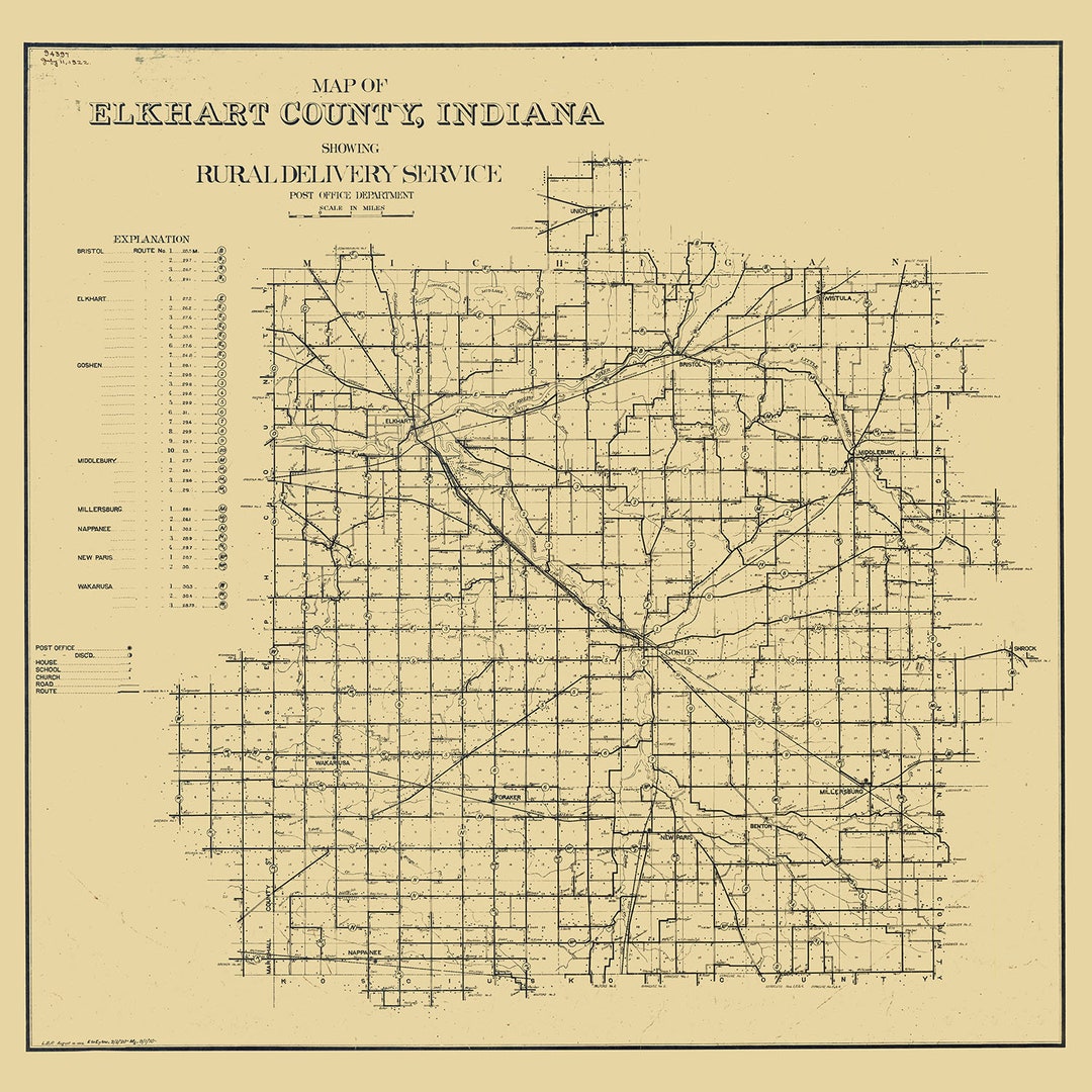
Elkhart Township is one of sixteen townships in Elkhart County, Indiana. As of the 2010 census, its population was 36,487.
History
The Dierdorff Farmstead was listed on the National Register of Historic Places in 2011.
Geography
According to the 2010 census, the township has a total area of 35.69 square miles (92.4 km2), of which 35.04 square miles (90.8 km2) (or 98.18%) is land and 0.65 square miles (1.7 km2) (or 1.82%) is water.
Cities and towns
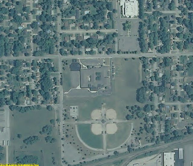
- Goshen (vast majority)
Unincorporated towns
- Waterford Mills
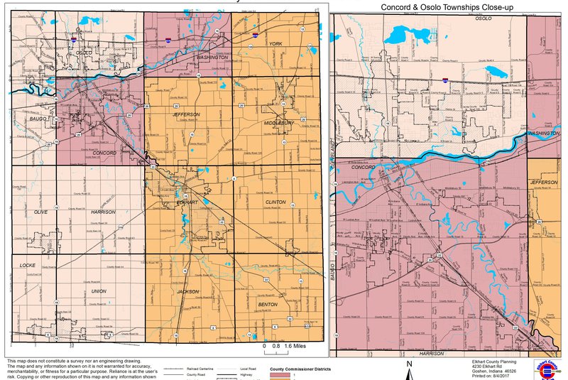
Adjacent townships
- Jefferson Township (north)
- Middlebury Township (northeast)
- Clinton Township (east)
- Benton Township (southeast)
- Jackson Township (south)
- Union Township (southwest)
- Harrison Township (west)
- Concord Township (northwest)
Major highways
- US 33
- SR 4
- SR 15
- SR 119
Cemeteries
The township contains seven cemeteries: Cripe, Elkhart Prairie, Hess, Oak Ridge, Sparklin, Studebaker and Violett.
Education
Elkhart Township residents may obtain a library card at the Goshen Public Library in Goshen.
References
- "Elkhart Township, Elkhart County, Indiana". Geographic Names Information System. United States Geological Survey, United States Department of the Interior. Retrieved September 24, 2009.
- United States Census Bureau cartographic boundary files
External links
- Indiana Township Association
- United Township Association of Indiana